


Canadian scientists launch an ambitious project to map previously unexplored Arctic territories.
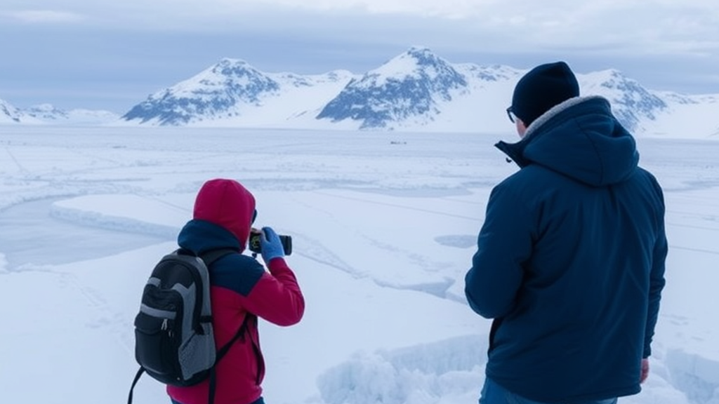
January 21, 2025: Canadian scientists have embarked on an ambitious project to map unexplored Arctic territories and deepen their understanding of one of Earth’s least-studied regions. This initiative leverages advanced satellite imaging, on-the-ground surveys, and cutting-edge oceanographic tools to chart remote areas, many of which are inaccessible due to extreme weather and ice coverage.
The Arctic is a region of growing geopolitical and environmental interest. Its unexplored territories hold valuable information about climate change, marine biodiversity, and potential natural resources. With melting ice opening new navigational routes, the project could provide critical data to support Canada’s sovereignty claims under international law, particularly the United Nations Convention on the Law of the Sea (UNCLOS).
The research also focuses on assessing the impact of climate change on Arctic ecosystems. Scientists aim to document changes in ice sheets, monitor endangered species habitats, and identify emerging risks to Indigenous communities that depend on the Arctic’s delicate environment.
The multidisciplinary team comprises geology, biology, oceanography, and cartography experts, supported by Canadian governmental agencies and international collaborators. Cutting-edge autonomous drones and underwater vehicles are key tools in navigating areas previously inaccessible to human researchers.
By mapping these territories, the project could strengthen Canada’s leadership in Arctic research while promoting sustainable management of the region’s resources. The findings are expected to contribute to global scientific discourse on climate action and help mitigate the challenges of Arctic exploration.
For Canada, this endeavor represents both a scientific milestone and a step toward securing its role in the evolving dynamics of Arctic geopolitics.
